How to climb Ben A'an
Ben A’an is an easy-to-climb rocky wee hill in the Loch Lomond and Trossachs National Park. Described as a Munro in miniature, it's a fantastic day out in the Scottish hills for the whole family!
The iconic image of Ben A'an, the small hill and rocky summit are seen as the epitome of the Loch Lomond Trossachs National Park. Located just a few miles between Callander and Aberfoyle, Ben A'nn boasts breathtaking views and an exceptional, easy-to-follow trail. It is little wonder it’s one of the most popular and accessible hills to climb in the area.
The route up Ben A'an
The route up Ben A’an is so easy to follow it hardly warrants a route description. However, knowing you're on the right path is always reassuring.
From the Ben A’an car park, cross the busy A821, keeping dogs and children close. The road is busy, and cars drive fast with the crossing hidden to passing motorists by a tall hedge on either side. The trail is obvious from here, directly across the road, in front of you. Follow this trail immediately uphill.
Once on the trail, there is very little to concern yourself with except putting one foot in front of another. That's the beauty of Ben A’an—its simplicity. Stick to the exceptionally well-made footpath that leads you uphill, and you have to work hard to go wrong!
After a short while, you will cross a small wooden bridge over a minor burn that becomes busy in the summer. From here, the trail starts to climb on well-made steps through a wooded hillside area before reaching a plateau.
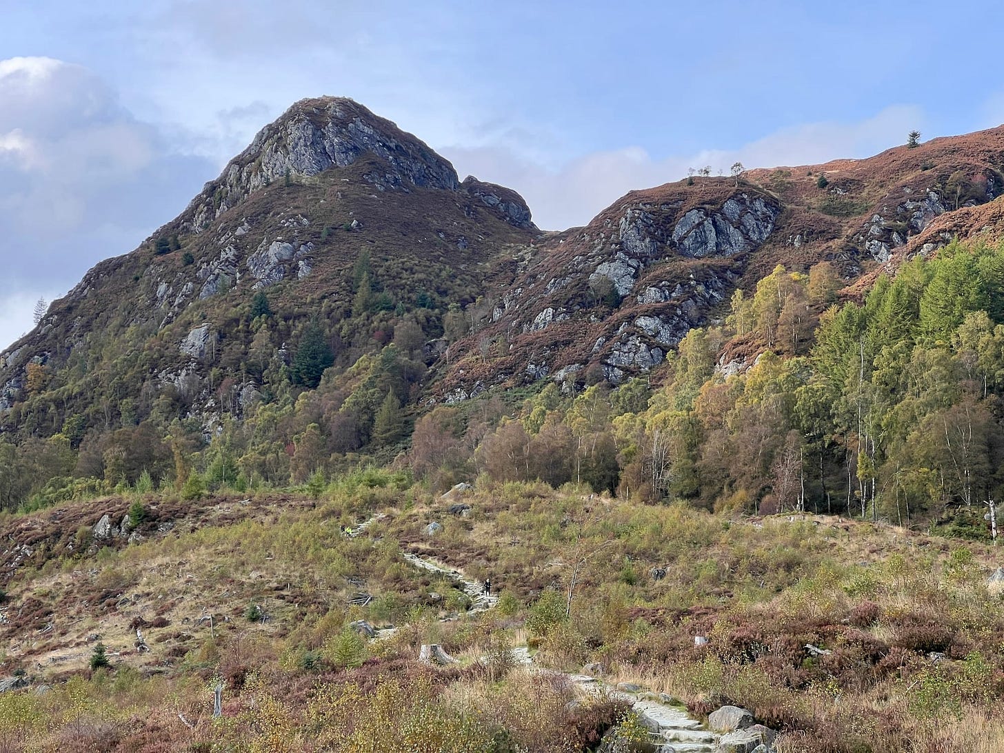
This plateau is a welcome relief after the climb from the car park and will give you your first views of the rocky cone-like summit of Ben A’an in front and over Loch Achray behind. This area looks a little desolate because it’s been recently felled to make way for the planting of native trees as part of a broader regeneration project.
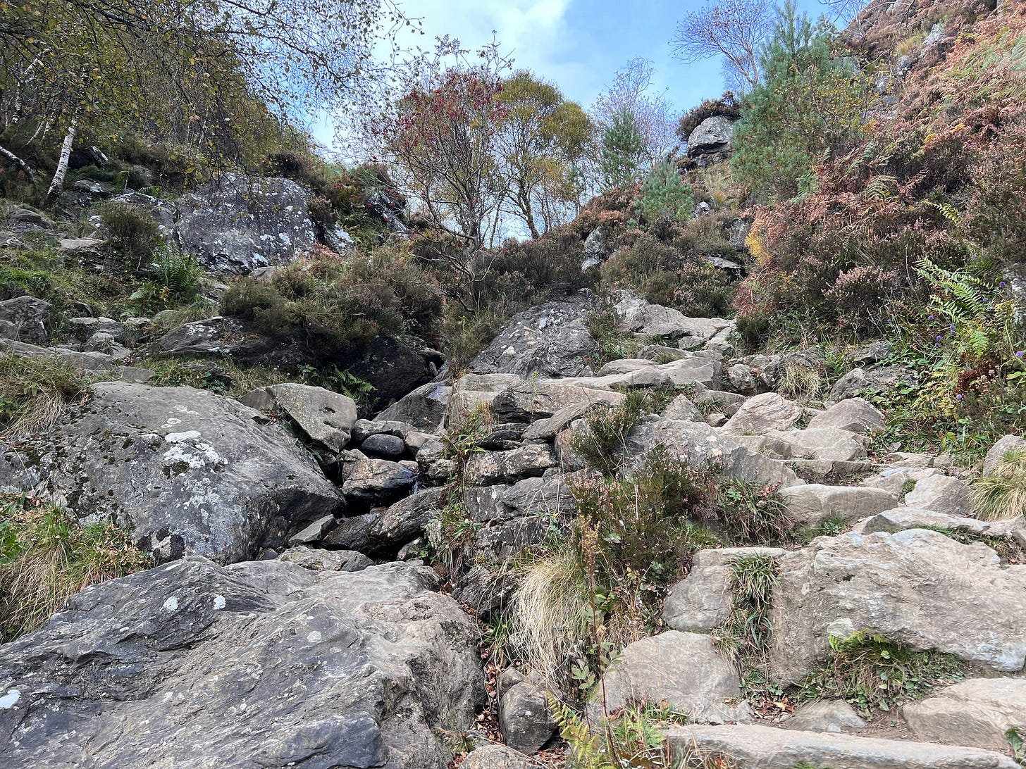
Once over the plateau, you will enter another densely wooded area, which is the start of a more steep and technical section of Ben A’an. Usually, if people retreat from the hill before reaching the summit, this is where they do it! A couple of giant boulders on the left of the path provide a great stopping point for a break. From here the views towards the mountain of Ben Venue are spectacular and get better the higher you walk!
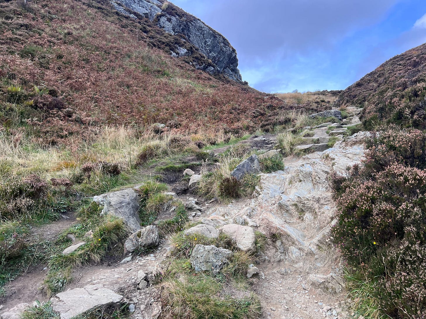
The trail then goes steeply uphill on rocky steps that slowly but surely disappear. This is where the trail gets more technical, and children usually have the most fun! For small people, it can be a scramble on hands and knees, and small dogs may need assistance getting up. This is why they often call Ben A’an a munro in miniature! This is where the fun starts!
Towards the end of the woodland, but before you go above the tree line, you must step over a minor burn to stay on the hill path. Many people miss this, continuing up the right-hand side of the burn. This leads to nowhere, forcing people to climb back down, cross the burn, and follow the correct trail towards the summit of Ben A’an.
As you climb, the path gradually becomes easier, flattening out onto a well-trod earth trail that can be muddy after rain. A lot of work is being undertaken around this area of Ben A’an to help the hillside repair after years of walkers damaging the flora and fauna. Plaques and rope fences are trying to keep people on the main paths. These also help keep people away from a deep and boggy section that has claimed the legs of many hikers over the years, including mine in previous years!
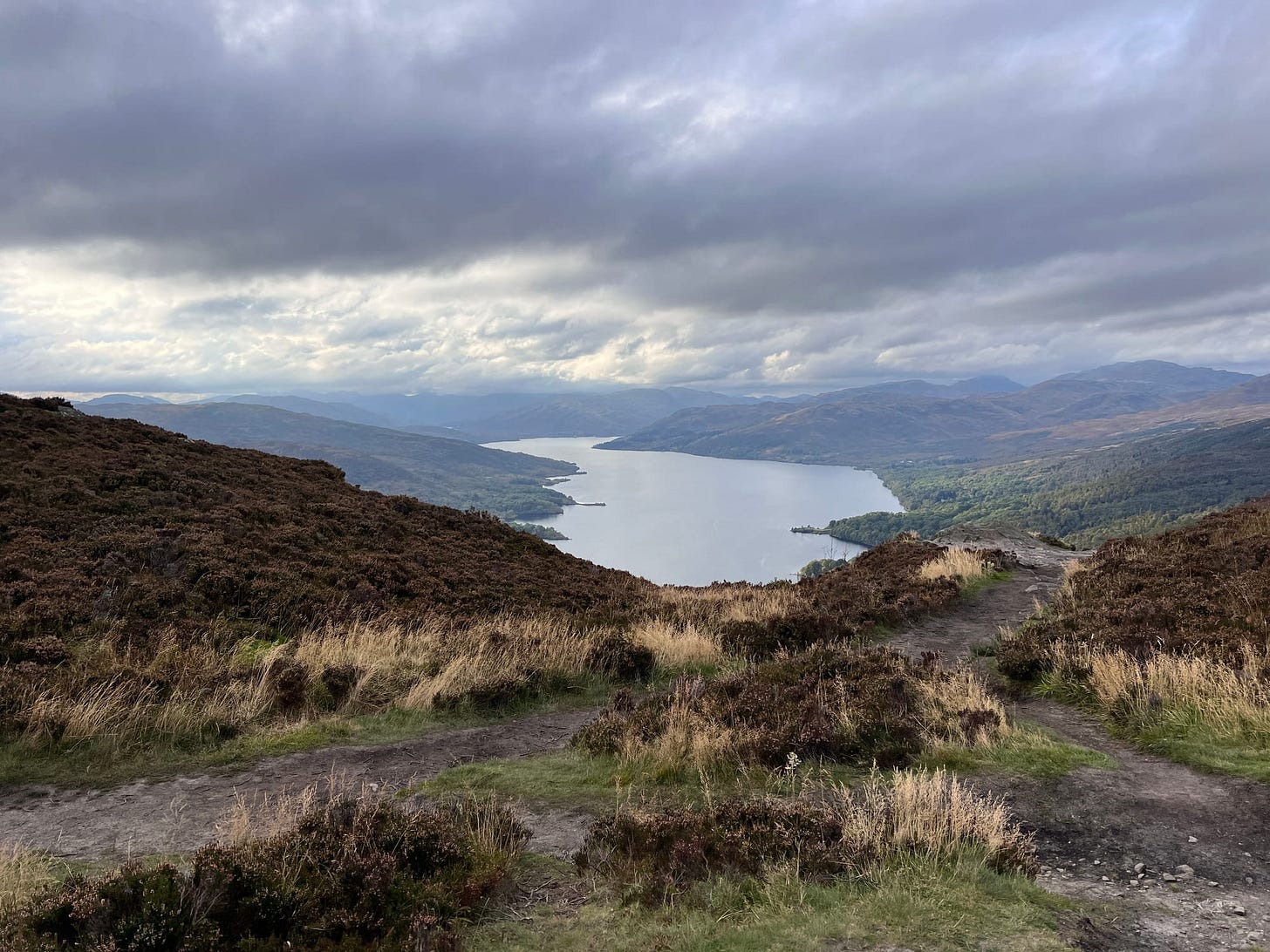
This section has a small viewpoint overlooking Loch Katrine, which usually provides the best photo opportunity on a busy day. On a summer's day, the summit can be as busy as the Royal Mile in Edinburgh!
It’s only a few hundred metres from here to the summit of Ben A’an. Crossing a very rocky section of trail, the routes up to the summit are endless and obvious, thanks to the smoothed rock of centuries of walkers making the same journey.
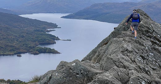
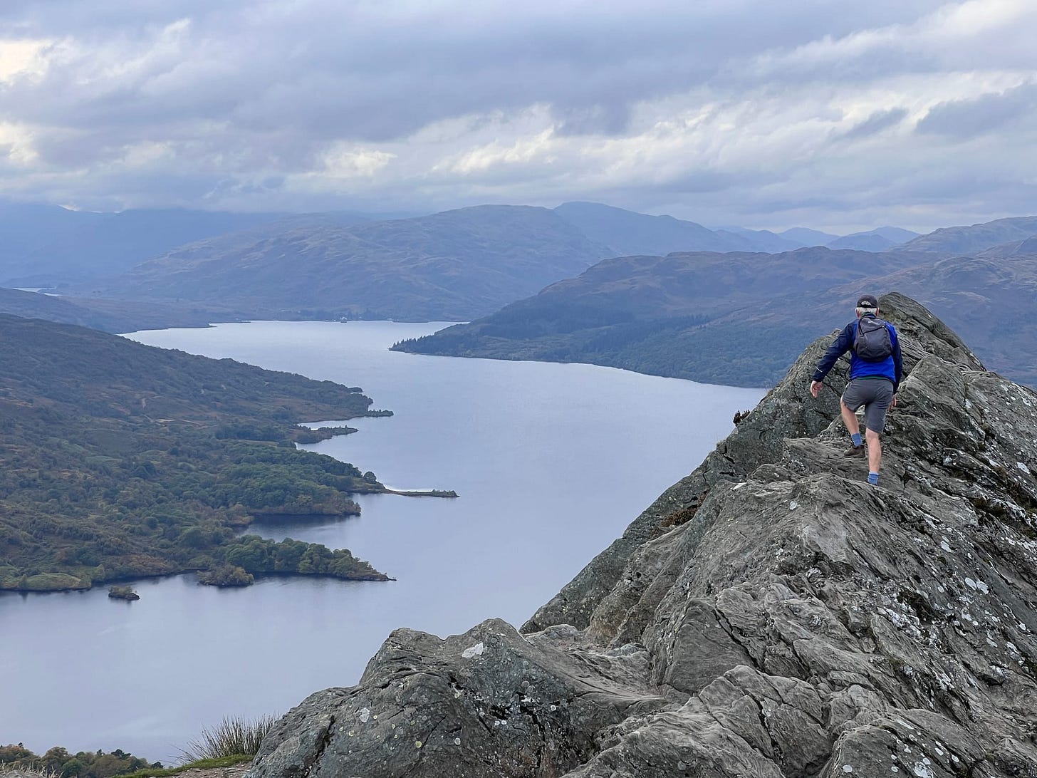
The summit of Ben A’an is a small rocky point overlooking Loch Katrine. On a busy day, the queue for the quintessential photo can be long!
Video from the summit overlooking Ben Venue and then down Loch Katrine
The route off Ben A’an
The route down Ben A’an involves simply retracing your footsteps back the way you have come. Take care climbing back down, as this is usually where most accidents happen. Mountain rescue teams have often had to rescue walkers who have slipped, tripped, or fallen on Ben A’an!
How far is it to the top of Ben A'an?
It's 1.1 miles from the car park to the top. Add the return journey and a wee bit once you're at the summit to enjoy the views and get some photos. Ben A'an is 2.3 miles in total.
How difficult is Ben A'an to climb?
From a navigation perspective, Ben A’an isn’t a challenging hill; however, the path is steep and rocky. The upper section of the trail can involve some use of hands and knees, especially if it's been raining, as the rocks can get very slippery!
Maps and GPS for Ben A'an
Will you need a map to climb Ben A’an?
In general, no, but having a map and compass is always best practice, as is knowing how to use them; this would always be my standard advice! Most people use a smartphone GPS, which works fine on a good day. You would have to work exceptionally hard to go wrong or walk off the trail on Ben A’an, but it has been known! At a minimum, I would advise you to carry a basic map you can buy from local shops or order from the shops below and have a GPX file on your phone.
Paper Maps for Ben A'an
OS Map: Explorer Map 46 Active
OS Map: Landranger Map 57
Harvey Maps: Superwalker XT 25 Loch Lomond and the Trossachs
Harvey Maps: Ultrawalker XT40 Loch Lomond and the Trossachs (my recommendation)
Why recommend the Harvey XT40 map?
It's cheaper and smaller than the others. It's also waterproof and covers a large area! Slip it in your pocket; you would never know it's there! It's a perfect little backup, and that's what I use! Also... it's a souvenir of your hike and can be used to plan other walks in the national park.
Can't I just print a map?
Yes! But be careful; the print quality can often be limited on inkjet printers and very susceptible to any moisture in the air, not to mention the paper itself. Laser printers are usually the best option! Getting the correct maps can also be challenging, although you can try Bing Maps (Microsoft's equivalent to Google Maps) as they have OS Mapping as an option. The best thing you can do is to use the Hikker App, as they have a print option. However, getting the best quality maps will require an active subscription! We are not affiliated with Hikker. Both Outdoor Active and OS Maps also have apps that allow printing.
GPS Route for Ben A'an
Instead of giving you the GPX file, I've added the route to the Hiiker for iOS and Android. It's a little simpler than downloading and uploading a file.
Ian Alderman | Ben A’an | Planned trail 82426
Ben A'an GPS route on Hiiker
I don't use the Hiiker App! What can I do instead?
That's fine! Hiiker isn't for everyone and I've got you covered. Click on the link (above) and download the GPX file. The GPX file can be uploaded onto your GPS device or into the mapping App that you use on your phone.
We also use Outdoor Active and OS maps App, but there are a lot of others available in the iOS and Andriod App Store.
How long does it take to climb Ben A’an?
For the average person, Ben A’an shouldn’t take longer than a few hours or half a day. It’s not a particularly long or hard hill to climb, but it is steep and rocky in some places! I do not doubt that you will want to spend longer on the summit than you expect! Allow yourself 4 hours as a minimum!
When's the best time to climb Ben A’an?
Scotland’s best weather tends to be around May and September, but anytime between late spring and early autumn is best. The summer months can be very busy! The midges are also rife in the summer months, so be prepared. I wouldn’t attempt it in winter, even on a nice day, as the conditions can change so dramatically, and without winter gear and experience, it can be treacherous!
What’s the weather on Ben A’an?
Like any hill in Scotland, the weather can change dramatically within minutes and without warning! You can check the latest weather forecast around Ben A’an here.
Southwest Highlands
Met Office Mountain Weather Forecast for Ben A'an
Southeastern Highlands Forecast
The Mountain Weather Information Service for Ben A'an (Southeastern Highlands)
How high is Ben A’an?
Ben A’an is 454 metres high (1490 feet)
Where is Ben A’an?
Ben A’an is located in the Loch Lomond Trossachs National Park between Aberfoyle and Callander on the A821, known locally as Dukes Pass. Ben A’an is actually a small rocky outcrop, not a hill in its own right, but part of the 100-metre-higher Meall Gainmheich. However, everybody climbs Ben A’an because of its ease, character and beauty!
See where Ben A'an is on Google Maps
Ben A’an · Callander FK17 8HZ, Verenigd Koninkrijk
How to get to the start of Ben A’an
The carpark
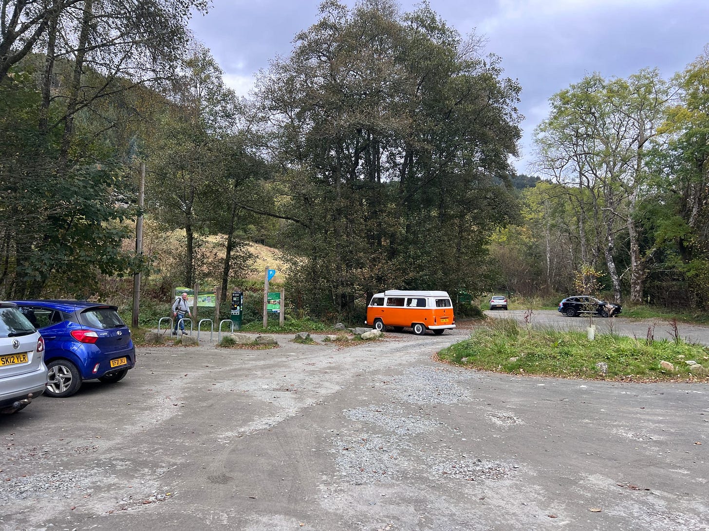
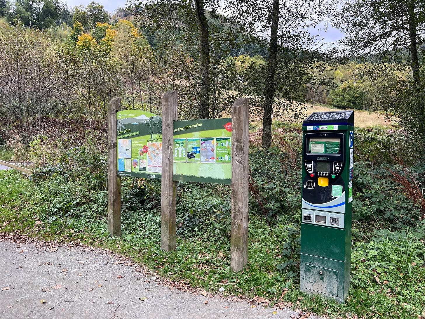
Ben A’an has a car park about 300 metres past the junction leading to Loch Katrine. Parking is £5 for the day. You can also buy an annual parking permit if you visit the area regularly. There is also a bus stop; however, from my research, they have stopped the service in the last few weeks!
The Parking machines accept card payment, and you can also pay via the ParkingGo app on iOS and Android. However, there is minimal phone signal, and the car park can quickly get full. The police and local authorities are aware of this and issue parking tickets regularly for improper parking or failure to display a ticket. Cars parked on the road have also been towed away!
Car park postcode
The postcode for the car park is FK17 8HY
Ben A'an car park on Google Maps
Car Park - Ben A’an · 6HJV+XR, Callander FK17 8HX, Verenigd Koninkrijk
Google Maps | Ben A'an car park on
Public Transport to Ben A'an
There is a bus stop at the Ben A'an car park; however, according to my research, the bus service has recently been stopped.
A few questions we have been asked
Is Ben A’an child and dog friendly?
In general, yes. Children will love rock scrambling in the second section and around the summit but may also need assistance from an adult on the steep section. Ben A'an isn't suitable for pushchairs or wheelchairs! Small dogs will need help on some of the rocky sections, and there are a few stepping stones they might also need help with! Last time we were up Ben A’an, somebody took a cat up there with them!
What are the highlights of Ben A’an?
The views from the top are spectacular and far outweigh the effort to get there. For such a little hill, the rewards are amazing! Most walkers will enjoy the challenge, as it's a very varied walk with flat sections and areas where using hands and knees might be the best option. Ben A’an is also a great introduction to hill walking.
Is Ben A’an a dangerous hill to climb?
In general, no, it isn't a dangerous hill to climb. Ben A'an is very accessible and relatively easy! In bad weather, Ben A’an can be as challenging as any hill. There are also a few sheer drops from the summit, so keep an eye on children and pets. In the wet, the rocks can be slippy and treacherous when icy. A good pair of microspikes and hiking poles would be invaluable in these conditions! There are a few sections on the higher-up path where you might need to use your hands. Apart from that, have fun!
How busy can Ben A’an get… really?
In the summer months, it can be chaos and has even made the news! We live only a few miles from Aberfoyle, and in the summer, we will not go anywhere near it because of how busy it can get!
What does the name Ben A’an mean?
Ben A’an comes from Scottish Gaelic, meaning ‘Small Pointed Peak’.
Further reading about Ben A'an
This is an excellent post by Park Watch. It shows firsthand how busy Ben A'an can get and the massive improvements undertaken on the hill path and car park over the last few years! It's a fantastic read if you are an outdoor geek like me!
Forest and Land Scotland’s failed path but flourishing woodland - Ben A’an revisited - parkswatchscotland
Park Watch Scotland Ben A'an
What do we think of Ben A'an?
It’s an incredibly accessible small peak, and we love it for a simple hike or camp outside of the summer months. Ben A’an is also well known for its spectacular sunsets, sunrises, and inversions due to the expansive Loch Katrine and Loch Achray below it!
Ben A'an Journal | Hike and summit camp
Ben A’an | Hike & Summit Camp
Ben A'an video diary
We also recorded a small video of a hike up Ben A’an a few years ago and uploaded it to YouTube. You can view the video below.
Reviews & updates.
I regularly review and update all of our guides. If you notice any errors, please let me know by email or in the comments section below. Thanks, Ian
Thank you for reading, and I hope you found this helpful.
If this has been helpful, please consider buying me a coffee below or share this post with a friend. Your support is hugely appreciated. Ian


